Date:
Location:
View the slides (PDF)
Abstract
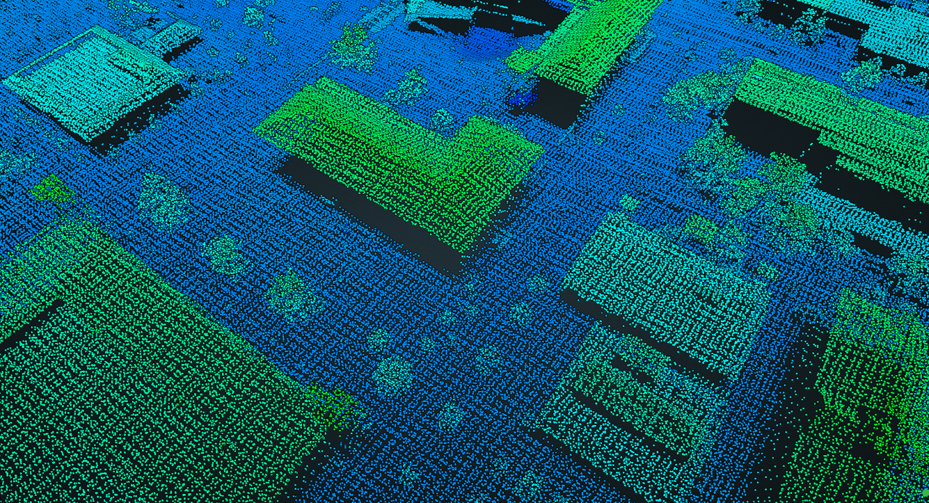
Recent advances in airborne light detection and ranging (LIDAR) have produced massive quantities of data used in the generation of digital elevation models (DEMs), which are essential to spatial applications such as flood modeling and urban planning. Airborne LIDAR systems return massive volumes of three-dimensional point cloud measurements at file sizes that are impossible to work with in traditional computing environments, and consequently the accuracies of such products tend to be under-researched and unreproducible. The Imaging and Geospatial Information Society set forth the specifications for LIDAR data and specify (in Table 9 of the LAS 1.4 report) that buildings are a class. While many of the newer LIDAR datasets adhere to this classification and are granted a stated accuracy assessment, it is often unclear how they arrive at these results due to their proprietary nature. A common step in the methodology of this classification is known as a Progressive Morphological Filter (PMF), which separates ground from non-ground measurements. This talk discusses the process of leveraging CyberGIS and High-Performance Computing infrastructure, in order to prototype a parallelized LIDAR point cloud uncertainty assessment and object classification workflow using a University of Illinois Urbana-Champaign (UIUC) LIDAR flight. This talk subsequently advances a process that was established in order to rapidly assess the geographic context and relative quality of the dataset, and also extend the framework to larger datasets. The potential application of remote sensing techniques to biomedical imaging will also be discussed.
About the Speaker
Jason Matney is a geospatial analyst with experience in Bayesian statistical modeling, building web GIS applications, and analyzing remote sensing data. He is a Ph.D. candidate within the Center for Geospatial Analytics at North Carolina State University.

