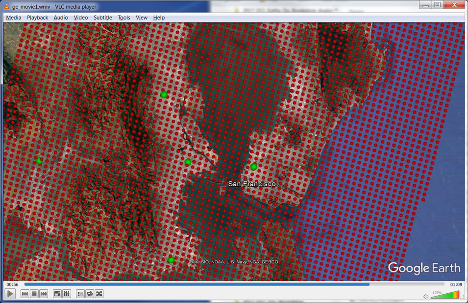
CGA created maps that display PM 2.5 and Ozone for the US by County from 2000 - 2012, which involved cross-tabulation of monitoring sites within county boundaries.
Investigators: Francesca Dominici and Christine Choirat, Department of Biostatistics, HSPH
Research Staff: Fei Carnes, Jeff Blossom

